Satellite Data Integration in FarmApp
FarmApp harnesses satellite technology to provide farmers and FPOs with detailed, real-time insights into their land, crops, and farming conditions. With advanced analytics and data visualization, FarmApp enables precise and informed decision-making for better productivity and sustainability.
Key Features Of Satellite Data in FarmApp
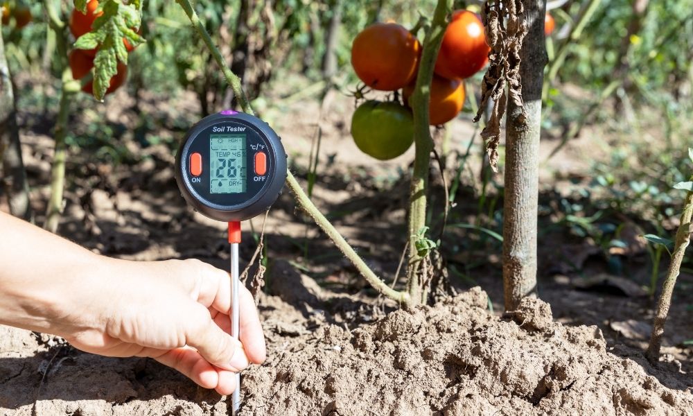
Moisture Monitoring
Access real-time soil moisture levels to optimize irrigation schedules, ensuring efficient water use and reduced wastage.

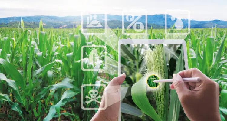
Crop Health Tracking
Utilize tools like NDVI (Normalized Difference Vegetation Index) to detect crop stress, pest infestations, or diseases early, allowing timely interventions.
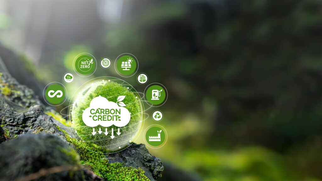
Carbon Management
Monitor carbon content in soil to improve fertility and align with sustainable farming practices.


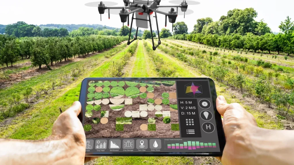
Actionable Visuals
Satellite data is displayed in easy-to-read maps and charts on FarmApp’s dashboard, enabling farmers to make quick, data-driven decisions.
Yield Forecasting
Predict crop output based on cumulative data, helping farmers plan better for storage, market engagement, and financial management.

FarmApp integrates satellite imagery to empower farmers and FPOs with a bird’s-eye view of their operations, optimizing farming practices and boosting profitability.

